The paths of Lošinj's captains
The paths of Lošinj's captains
If you want to discover secrets of Lošinj, take the path by the sea that connects and holds treasures of our island. Start at Borik cove, across Sunčana cove bathing in the sunshine, touch the Annunziata cove and enter the Čikat bay. Leaving Srebrna (Silver) and Zlatna (Gold) coves behind you, come to Boka Falsa and continuing through the pine tree forest, climb to Monte Baston hill. Impressed by the view of the town, continue through the forest, come out at Velopin to reach the centre.
The sign at Borik will point you towards Porto Šešula and Balvanida coves on the left, but we continue on the right towards Sunčana cove and Veli žal beach. The path you have just taken stretches along a rocky coast that has been transformed into straight panes by thousands of years of waves. We pass by blue flag Veli žal beach and continue towards Čikat bay and cape Annunziata. After 2.5 km we reach a unique entrance to Čikat. Pause here for a bit and enjoy the view of the islands of Susak, Vele and Male Srakane, and Unije. Discover the votive church of the Annunciation of Virgin Mary (Madonna Annunziata), built in 1534. The church is perched on a cliff and listens to vows of sailors and captains, who were set off by their families right here, while the nearby lantern called for another voyage.
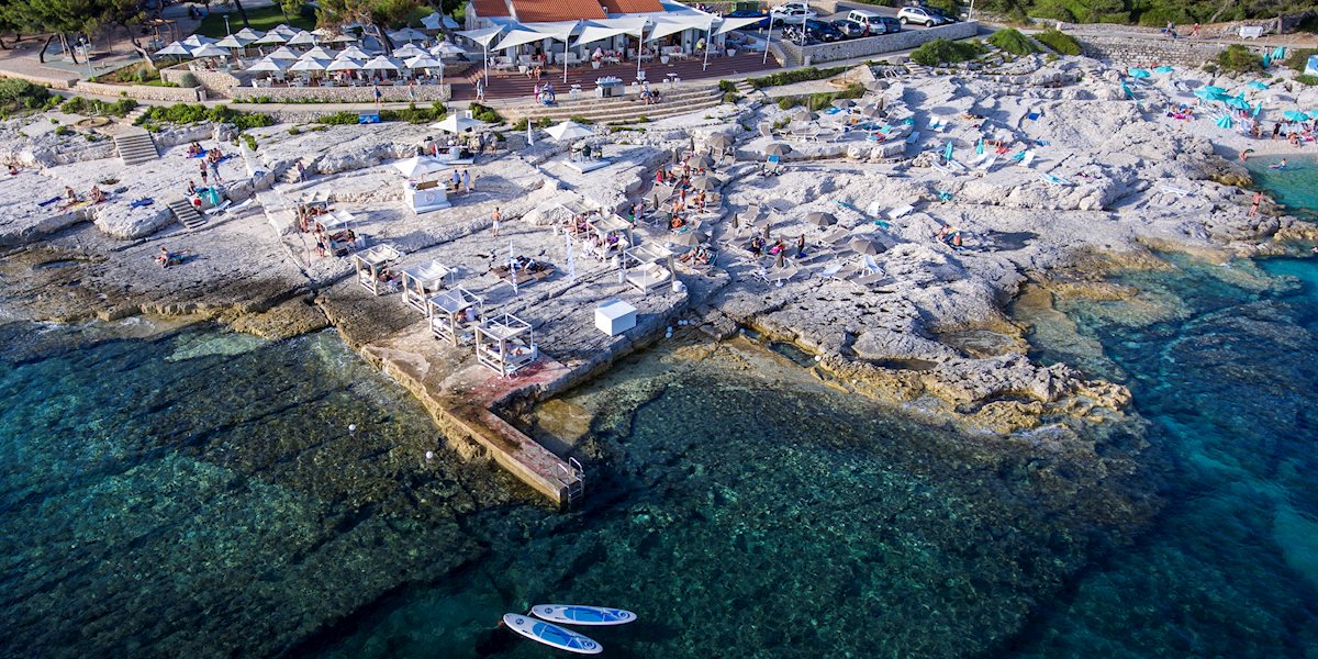
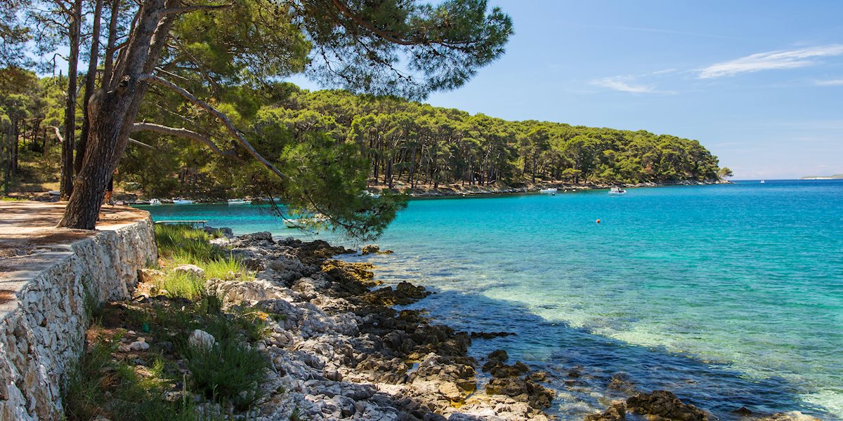
Čikat bay has become a symbol of Lošinj. Searching for peace and health, the beauty and uniqueness of this bay were recognised by Austro-Hungarian aristocrats who built villas and summer houses by the sea. At the very end of the bay there is a tall bronze statue of professor Ambroz Haračić who spent his whole life studying climate and vegetation of the island. Thanks to his efforts, Mali and Veli Lošinj have been declared climate sanatoriums. He started the forestation of Čikat so that you could walk through the pine tree park-forest of Čikat bay.
The path leads on, passing many villas. The oldest, villa Adelma was built in 1895 but the biggest interest is sparked by the pink villa Carola, also known as Karolina. It keeps a dark secret of a love story between Emperor Franz Joseph and Katharina Schratt, a beautiful actress from Vienna. We reach a sandy Blatina cove where you can turn right and reach the centre of Mali Lošinj, but we will continue further. Leaving Čikat bay we reach its northern point. Turn your head back and look at all its beauty and the church of the Annunciation of Virgin Mary.
On our way through Srebrna and Zlatna coves we reach cape Boka Falsa. Its name, meaning a wrong way, comes from the fact that only small boats can pass through, while there are concrete pillars to warn the others. Opposite Boka Falsa is an islet Koludarac named after Benedictine nuns from Cres who used to own it.
We continue by the sea and enter the main bay of Lošinj – Augusta bay, named after Roman triumvir Augustus who prepared his fleet here for a battle against Anthony and Cleopatra. After 800 metres you will reach a sign for Monte Baston hill. We suggest the cyclists to continue straight to Velopin and further to the centre of Mali Lošinj. The path between Velopin and Boka Falsa is 400 metres long but unsuitable for bikes.
Climbing to Monte Baston (64 m) takes about 10 minutes. The hill is also called Vela Straža (guards) due to a great view it offers it was used as a military lookout for centuries. The view from here stretches to all islands of Kvarner bay and surrounding mountains of Učka and Velebit, Augusta bay, Lošinj hills and the town of Mali Lošinj.
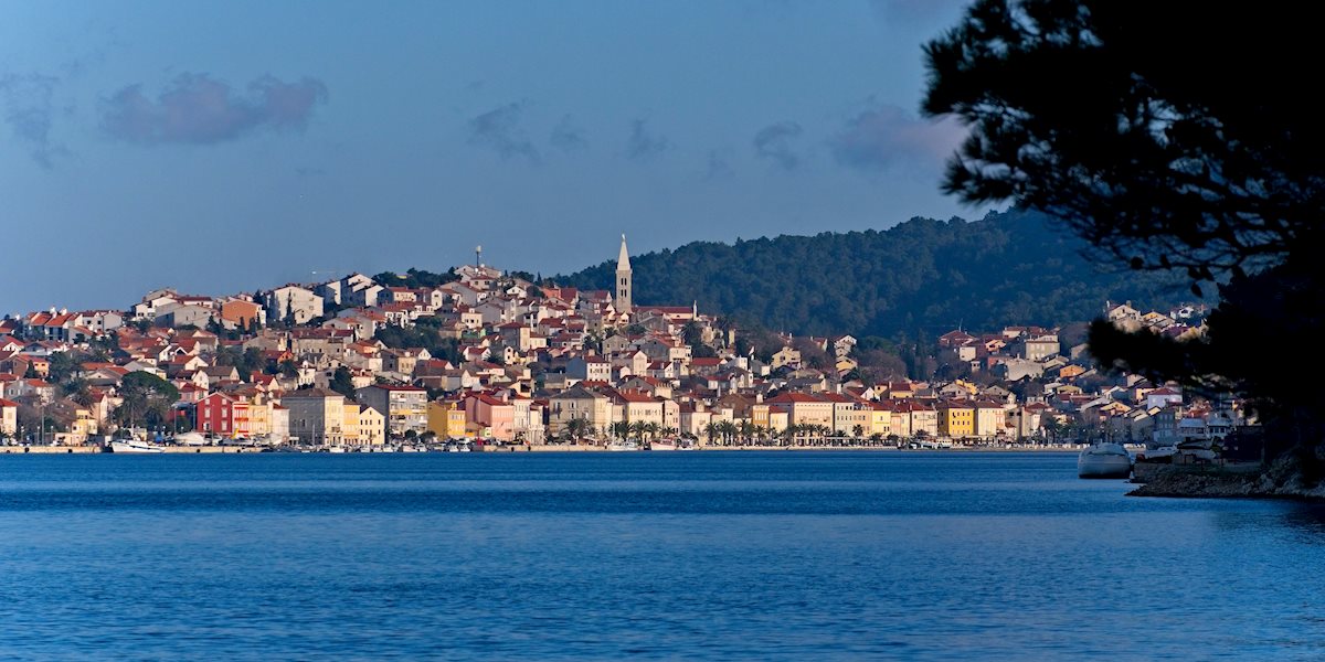
Go downhill following the signs on the rocks and on the info-panel about Vela Straža. You will reach a wide path through the forest, so along cypress and pine trees you will reach the bottom of the hill and the road. Turn left and the path by the sea will take you to your final destination and give you a panoramic view of Mali Lošinj.
Bathing in the sunset, the little town will give you a smile and wish you a warm welcome!
Technical characteristics:
Highest point: Monte Baston 64 m
Total length of the paths: 12 km
Walking time: marked on the map for each section
Terrain: concrete, karst (smaller part)
Suitable for: walking, bikes (all kinds)
